Unique Guide Introduced for Sailing the Viking Route Across the Atlantic
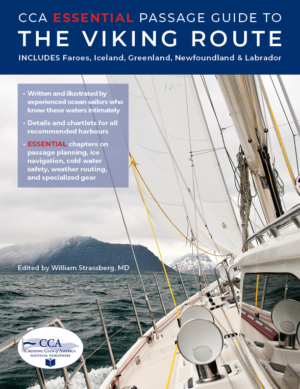
The CCA Essential Passage Guide to the Viking Route, created by members of the Cruising Club of America, provides mission-critical information for the high-latitude crossing between the Faroe Islands, Iceland, Greenland and Newfoundland.
Published in May 2023 by CCA Nautical Publishers, the CCA Essential Passage Guide to the Viking Route is the first guide to distill and precisely present the information sailors need to passage the high-latitude waters between the Faroe Islands, Iceland, Greenland and Newfoundland. The guide is also unique in that it focuses on and pursues a specific route across the North Atlantic—the route the Vikings took all those years ago.
Edited by Viking route passagemaker William Strassberg, MD, with several other Cruising Club of America members who have sailed this route, the Guide dispenses information in a logical, manageable format, featuring the essential information that sailors need to know when stopping to explore the Faroe Islands, Iceland, Greenland, and Newfoundland.
|
Successfully navigating the Viking route—and sailing through ice—requires a skill set very different from long-distance voyaging in more temperate waters. Skipper, vessel, and crew must be fully prepared and have an understanding of the vagaries and challenges of high latitude sailing and ice navigation. If you are considering outfitting your boat for the high latitudes, or have it on your long-range bucket list, this book is for you. Editor Bill Strassberg assembled the Guide’s focused, mission-critical information while preparing for his own passage in 2019, with help from Shepton, Steve Brown, Sally and Simon Currin, Dick and Ginger Stevenson, and several other CCA members who know the Viking Route waters well. “Our goal,” he says, “is to help prospective Viking Route sailors prepare thoroughly and minimize those things they did not know they did not know.” |
Specifications
Material Options
 Our paper charts are printed on high resolution, heavyweight, water-resistant paper, using state of the art printing technology. The paper and printing process has been certified by NOAA and deemed to be suitable to withstand the rigors of use in the marine environment. FULL SIZED PAPER CHARTS ARE CERTIFIED FOR CARRIAGE ABOARD COMMERCIAL VESSELS |
 Our waterproof charts are printed on a TIP: If you plan to frame or laminate a chart using heat, then do not choose waterproof because the material can melt under heat. FULL SIZED WATERPROOF CHARTS ARE CERTIFIED FOR CARRIAGE ABOARD COMMERCIAL VESSELS |
Size Options |
|
|
|
 These are up-to-date, NOAA charts simply enlarged in size so that the small dimension of the chart is 42”, the long dimension is proportionally enlarged. These charts are printed beyond full size, therefore the scale is not the same as the full size NOAA chart, however the scale bars on the charts are proportionally enlarged in size, and can be used for reference. LARGE FORMAT CHARTS ARE NOT CERTIFIED FOR CARRIAGE ABOARD COMMERCIAL VESSELS |
Other Options |
|
|
|
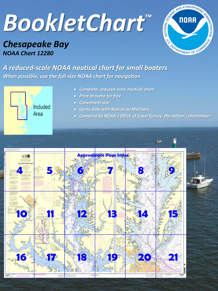
 Made to help recreational boaters locate themselves on the water. It has been reduced in scale for convenience, but otherwise contains all the information of the full-scale nautical chart. The bar scales have also been reduced, and are accurate when used to measure distances in these BookletCharts. • Professionally printed and staple-bound using high quality, durable paper. • Includes Notices to Mariners • Printed on-demand with the latest data from NOAA BOOKLET CHARTS ARE NOT CERTIFIED FOR CARRIAGE ABOARD COMMERCIAL VESSELS |
 |
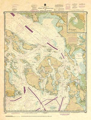
This is a unique line of decorative charts prepared by Paradise Cay Publications.
The short side of the chart is always printed at 36" and the long side will vary depending on the chart - please do not order framing prior to receiving the chart. These will memorialize your favorite coastal area in vintage style and we have added to the standard border of the typical NOAA chart to allow for a more professional, frame-ready presentation. DECORATIVE CHARTS ARE NOT CERTIFIED FOR CARRIAGE ABOARD COMMERCIAL VESSELS |


