Celestial Navigation: A Complete Home Study Course, Second Edition

$39.00
STR040
Add to Favorites
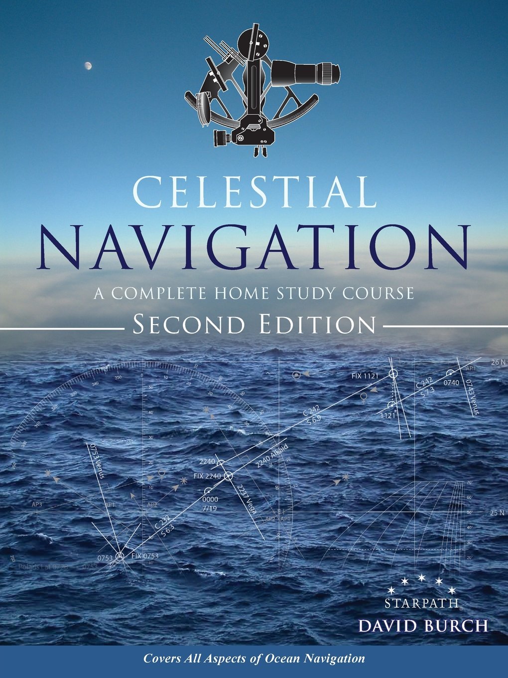
This book has been used for 30 years, updated periodically as needed. More than 20,000 students have successfully learned ocean navigation from these materials and gone on to cross oceans or circumnavigate the globe. This book covers how to find position at sea from timed sextant sights of the sun, moon, stars, and planets plus other routine and special procedures of safe, efficient offshore navigation. No previous navigation experience is required. The only math involved is arithmetic (adding and subtracting angles and times). This is a practical, how-to-do-it book, which also includes clear explanations of how it works and how to do it well. Plus this book includes other crucial factors of ocean navigation besides just finding out where you are from the stars, such as logbook procedures, dead reckoning, error analysis, route planning, and more. At the end of this book, you will be ready for ocean navigation. The book includes: text, practice problems, tables selections, detailed glossary, and full solutions. Printable work forms, plotting sheets, and other resources are available at no charge from www.starpath.com/celnavbook. Preface to the Second Edition. We are pleased to say that after ten more years of using this text we do not find reason to change the basic approach and methods of the teaching. We still use most of the same examples, which are now quite old, but that is the beauty of celestial navigation. It has not changed, so we do not benefit in any way from making all new examples, which would bring with them more chance of error in a book of many numbers. We have, however, notably improved and expanded the book. Each section has been updated and reformatted for a clearer presentation, often in response to student questions over the years. New graphics have been added and older ones all updated. There is much new content in the text, especially in the In-Depth chapter, including more detailed discussion of the sailings and more background on the principles. New sections were added on general ocean navigation and optimizing the fixes. We have also updated the electronic navigation section, as most ocean navigators will also be using other tools besides celestial.

Specifications

Format:
Paperback
Author:
David Burch
Pages:
296 pages
Dimensions (IN):
8.3 x 0.6 x 11
ISBN:
9780914025467
Supplier/Publisher:
Starpath
Published Date:
2015

Material Options

PAPER CHARTS

Our paper charts are printed on high resolution, heavyweight, water-resistant paper, using state of the art printing technology. The paper and printing process has been certified by NOAA and deemed to be suitable to withstand the rigors of use in the marine environment.

FULL SIZED PAPER CHARTS ARE CERTIFIED FOR CARRIAGE ABOARD COMMERCIAL VESSELS
WATERPROOF CHARTS

Our waterproof charts are printed on a
very durable, extremely tear resistant,
waterproof material using state of the art
printing technology. The waterproof
material accepts pencil markings well and
also erases well. The paper and printing process has been certified by NOAA and deemed to be suitable to withstand the
rigors of use in the marine environment.

TIP: If you plan to frame or laminate a chart using heat, then do not choose waterproof because the material can melt under heat.

FULL SIZED WATERPROOF CHARTS ARE CERTIFIED FOR CARRIAGE ABOARD COMMERCIAL VESSELS

 Size Options


SMALL FORMAT CHARTS
These are up-to-date, NOAA charts simply
reduced in size so that the small dimension of the chart is 21”, the long dimension is proportionally reduced. These charts are not printed to full size, therefore the scale is not the same as the full size NOAA chart, however the scale bars on the charts are proportionally reduced in size, and can be used for reference. These charts are not recommended for navigation.

SMALL FORMAT CHARTS ARE NOT CERTIFIED FOR CARRIAGE ABOARD COMMERCIAL VESSELS


These are up-to-date, NOAA charts simply enlarged in size so that the small dimension of the chart is 42”, the long dimension is proportionally enlarged. These charts are printed beyond full size, therefore the scale is not the same as the full size NOAA chart, however the scale bars on the charts are proportionally enlarged in size, and can be used for reference.

LARGE FORMAT CHARTS ARE NOT CERTIFIED FOR CARRIAGE ABOARD COMMERCIAL VESSELS

Other Options


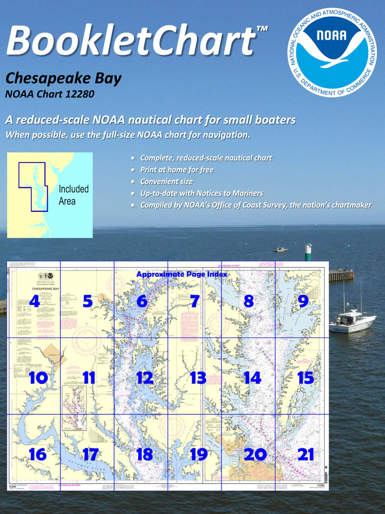
BOOKLET CHARTS

Made to help recreational boaters locate themselves on the water. It has been reduced in scale for convenience, but otherwise contains all the information of the full-scale nautical chart. The bar scales have also been reduced, and are accurate when used to measure distances in these BookletCharts.

• Professionally printed and staple-bound using high quality, durable paper.

• Includes Notices to Mariners

• Printed on-demand with the latest data from NOAA

BOOKLET CHARTS ARE NOT CERTIFIED FOR CARRIAGE ABOARD COMMERCIAL VESSELS


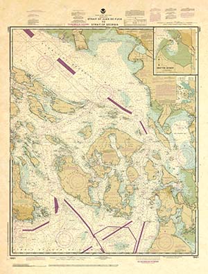
DECORATIVE ANTIQUED CHARTS

This is a unique line of decorative charts prepared by Paradise Cay Publications.

  • This is an art piece prepared with the look of a well-used chart with the patina of antique parchment.
  • Printed on our high-quality heavy paper.
  • We have added an additional border to allow for framing.
  • Shipped rolled, never folded.

The short side of the chart is always printed at 36" and the long side will vary depending on the chart - please do not order framing prior to receiving the chart. These will memorialize your favorite coastal area in vintage style and we have added to the standard border of the typical NOAA chart to allow for a more professional, frame-ready presentation.

DECORATIVE CHARTS ARE NOT CERTIFIED FOR CARRIAGE ABOARD COMMERCIAL VESSELS