Celestial Navigation in the GPS Age (Revised and Expanded)

Retail price: $29.95
$24.95
Discount: $5.00 (17%)
IHP_CNAV
Add to Favorites
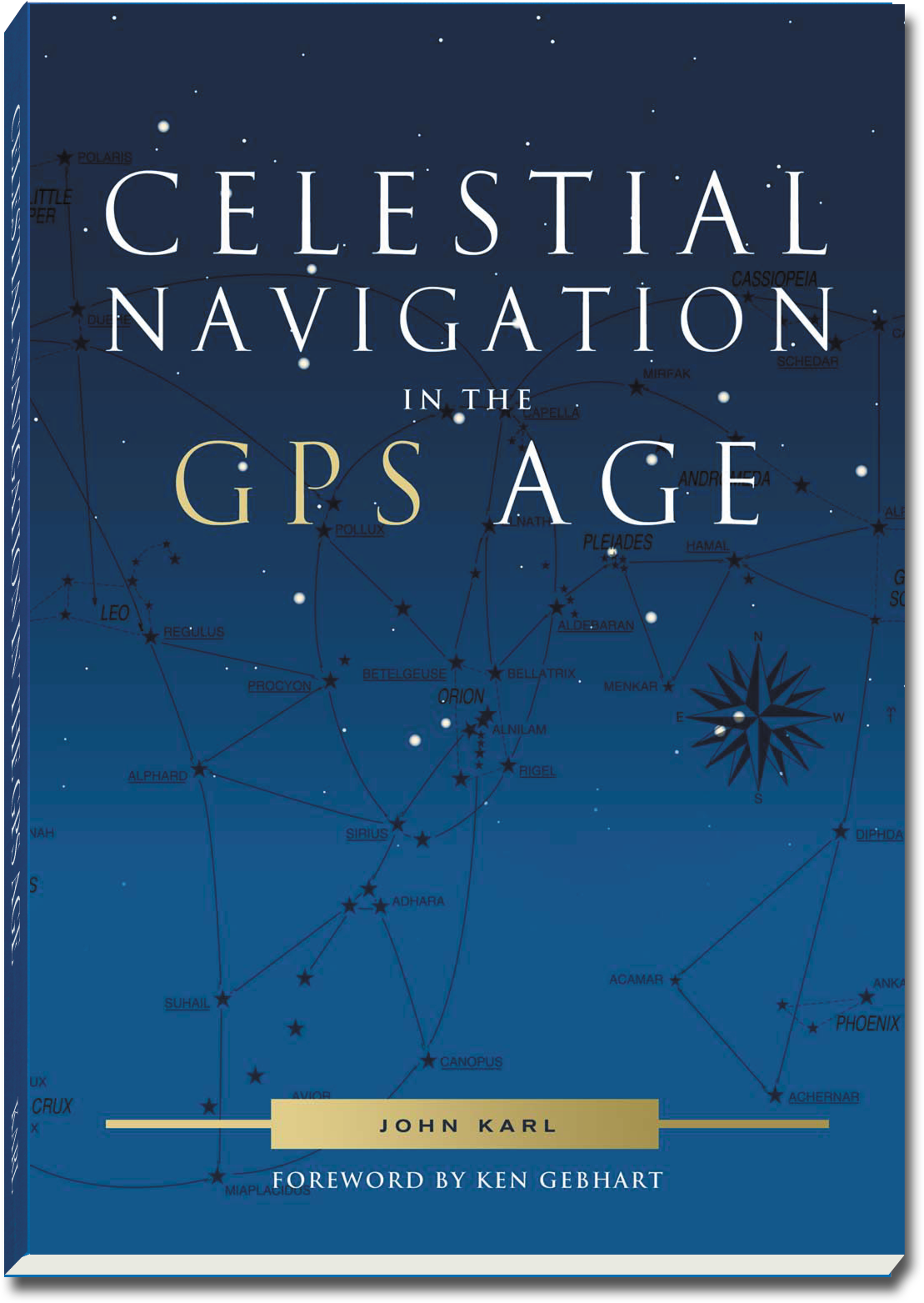
Celestial Navigation in the GPS Age by John Karl This revised and expanded edition of this popular CN book now introduces simple tabular sight reductions first, followed by calculator methods for those wishing to take full advantage of their flexibility. Of course it retains the same unprecedented clear and accurate explanation of CN mysteries, such as the role of the assumed position , and how positions and celestial LOPs can be plotted with no assumptions. The section on stars has been expanded, and star and planet identification and viewing have been added. It explains nine special sights, such as Polaris sights, meridian sights, and even sights without a sextant. Lunar distance sights are explained from the ground up, using only basic concepts, with no special formulas or tables. The book has a unique chapter on sextants and their properties, explaining the workings and effects of different horizon mirrors and telescopes, and their associated advantages and disadvantages. Related topics include: integrating CN with GPS for improving skill and safety; constructing plotting sheets; making superior running fixes; designing special LOPs for landfalls; and performing compass deviation checks at sea. Beginners will like the clear and authoritative explanations, arriving at a complete sight reduction in just 40 pages, accompanied by 72 exercises for plenty of practice and confidence building all in the most comprehensive CN book ever written. Experienced navigators will appreciate the comprehensive fresh treatment of all topics, many never seen elsewhere. SC, 2011, 310 pages.

Specifications

Format:
Paperback
Author:
John Karl
Pages:
310 pages
Dimensions (IN):
9.9 x 7.2
ISBN:
9780939837755
Supplier/Publisher:
Paradise Cay Publications
Published Date:
2007

Material Options

PAPER CHARTS

Our paper charts are printed on high resolution, heavyweight, water-resistant paper, using state of the art printing technology. The paper and printing process has been certified by NOAA and deemed to be suitable to withstand the rigors of use in the marine environment.

FULL SIZED PAPER CHARTS ARE CERTIFIED FOR CARRIAGE ABOARD COMMERCIAL VESSELS
WATERPROOF CHARTS

Our waterproof charts are printed on a
very durable, extremely tear resistant,
waterproof material using state of the art
printing technology. The waterproof
material accepts pencil markings well and
also erases well. The paper and printing process has been certified by NOAA and deemed to be suitable to withstand the
rigors of use in the marine environment.

TIP: If you plan to frame or laminate a chart using heat, then do not choose waterproof because the material can melt under heat.

FULL SIZED WATERPROOF CHARTS ARE CERTIFIED FOR CARRIAGE ABOARD COMMERCIAL VESSELS

 Size Options


SMALL FORMAT CHARTS
These are up-to-date, NOAA charts simply
reduced in size so that the small dimension of the chart is 21”, the long dimension is proportionally reduced. These charts are not printed to full size, therefore the scale is not the same as the full size NOAA chart, however the scale bars on the charts are proportionally reduced in size, and can be used for reference. These charts are not recommended for navigation.

SMALL FORMAT CHARTS ARE NOT CERTIFIED FOR CARRIAGE ABOARD COMMERCIAL VESSELS


These are up-to-date, NOAA charts simply enlarged in size so that the small dimension of the chart is 42”, the long dimension is proportionally enlarged. These charts are printed beyond full size, therefore the scale is not the same as the full size NOAA chart, however the scale bars on the charts are proportionally enlarged in size, and can be used for reference.

LARGE FORMAT CHARTS ARE NOT CERTIFIED FOR CARRIAGE ABOARD COMMERCIAL VESSELS

Other Options


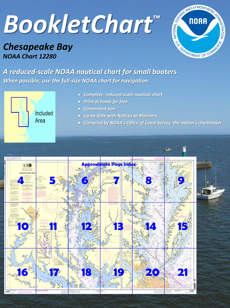
BOOKLET CHARTS

Made to help recreational boaters locate themselves on the water. It has been reduced in scale for convenience, but otherwise contains all the information of the full-scale nautical chart. The bar scales have also been reduced, and are accurate when used to measure distances in these BookletCharts.

• Professionally printed and staple-bound using high quality, durable paper.

• Includes Notices to Mariners

• Printed on-demand with the latest data from NOAA

BOOKLET CHARTS ARE NOT CERTIFIED FOR CARRIAGE ABOARD COMMERCIAL VESSELS


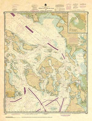
DECORATIVE ANTIQUED CHARTS

This is a unique line of decorative charts prepared by Paradise Cay Publications.

  • This is an art piece prepared with the look of a well-used chart with the patina of antique parchment.
  • Printed on our high-quality heavy paper.
  • We have added an additional border to allow for framing.
  • Shipped rolled, never folded.

The short side of the chart is always printed at 36" and the long side will vary depending on the chart - please do not order framing prior to receiving the chart. These will memorialize your favorite coastal area in vintage style and we have added to the standard border of the typical NOAA chart to allow for a more professional, frame-ready presentation.

DECORATIVE CHARTS ARE NOT CERTIFIED FOR CARRIAGE ABOARD COMMERCIAL VESSELS