our Guide to Watching Clouds and Understanding the Weather
From the soothing sound of rain to the shrill whistle of a blizzard, from the house-shaking rumble of thunder to the violent fury of a hurricane, weather is a fascinating part of our lives. We watch it. We listen to it. We feel it. We try to predict it. But how well do we truly understand it?
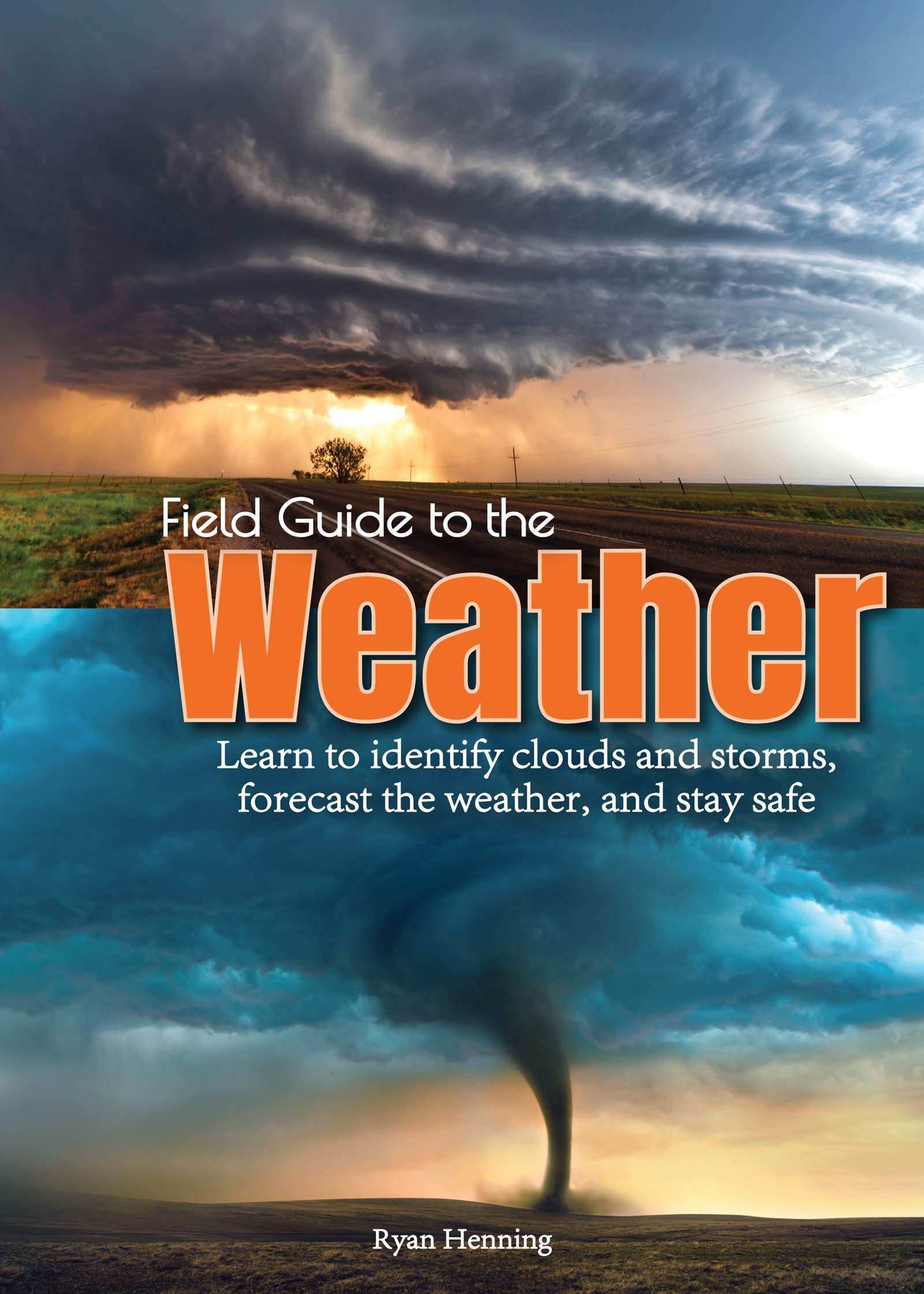
Professional meteorologist Ryan Henning presents Field Guide to the Weather, a handy reference to meteorology and to the types of weather phenomena that one might encounter at home or in nature. It includes a simple introduction to the basics of meteorology―explaining the aspects of the atmosphere that dictate how weather works. From there, the field guide looks at a variety of individual weather topics: cloud formation (and cloud-type identification), various forms of precipitation, and much more. The author goes on to discuss government-issued watches and warnings, and weather safety. Plus, readers are sure to appreciate the book’s helpful guide to interpreting weather forecasts and available model information when planning an afternoon picnic or next week’s vacation.
Field Guide to the Weather is a perfect introduction to the science of weather. The information is captivating for kids and adults alike. The simple explanations are useful in easing the mind of a frightened child, and the in-depth details help adults learn to understand and prepare for the weather ahead.
Specifications
Material Options
 Our paper charts are printed on high resolution, heavyweight, water-resistant paper, using state of the art printing technology. The paper and printing process has been certified by NOAA and deemed to be suitable to withstand the rigors of use in the marine environment. FULL SIZED PAPER CHARTS ARE CERTIFIED FOR CARRIAGE ABOARD COMMERCIAL VESSELS |
 Our waterproof charts are printed on a TIP: If you plan to frame or laminate a chart using heat, then do not choose waterproof because the material can melt under heat. FULL SIZED WATERPROOF CHARTS ARE CERTIFIED FOR CARRIAGE ABOARD COMMERCIAL VESSELS |
Size Options |
|
|
|
 These are up-to-date, NOAA charts simply enlarged in size so that the small dimension of the chart is 42”, the long dimension is proportionally enlarged. These charts are printed beyond full size, therefore the scale is not the same as the full size NOAA chart, however the scale bars on the charts are proportionally enlarged in size, and can be used for reference. LARGE FORMAT CHARTS ARE NOT CERTIFIED FOR CARRIAGE ABOARD COMMERCIAL VESSELS |
Other Options |
|
|
|
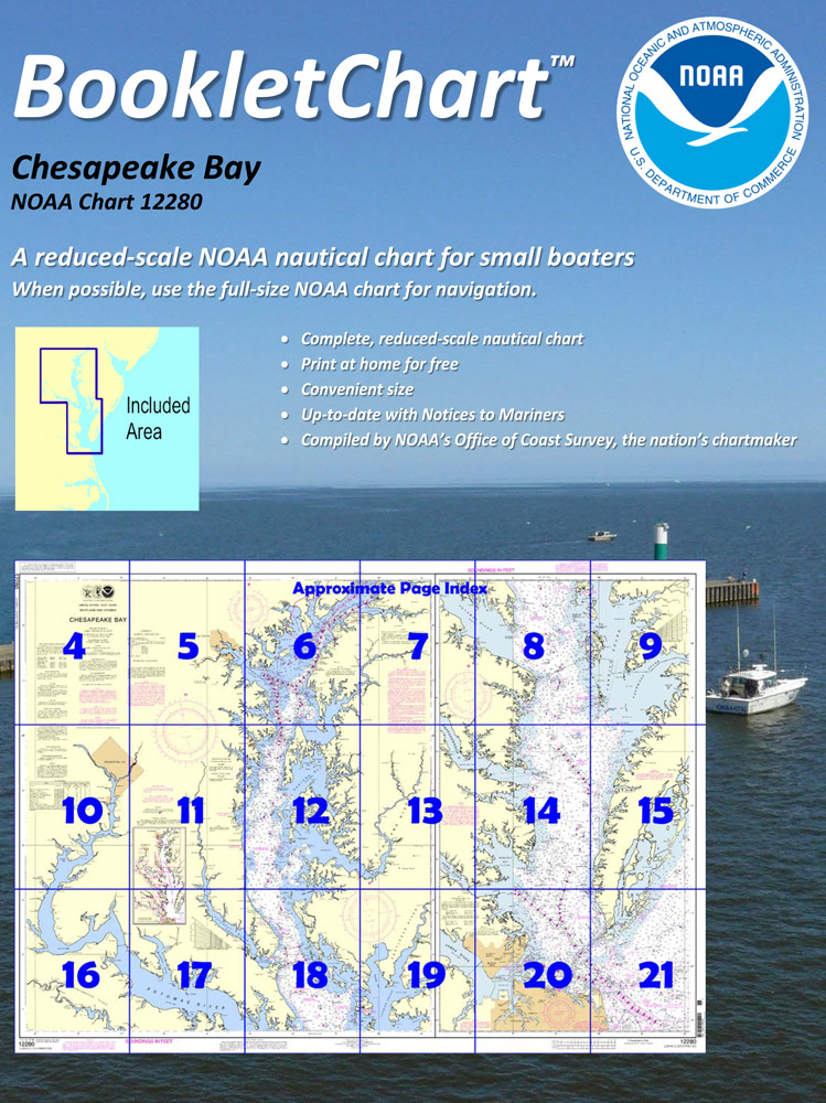
 Made to help recreational boaters locate themselves on the water. It has been reduced in scale for convenience, but otherwise contains all the information of the full-scale nautical chart. The bar scales have also been reduced, and are accurate when used to measure distances in these BookletCharts. • Professionally printed and staple-bound using high quality, durable paper. • Includes Notices to Mariners • Printed on-demand with the latest data from NOAA BOOKLET CHARTS ARE NOT CERTIFIED FOR CARRIAGE ABOARD COMMERCIAL VESSELS |
 |
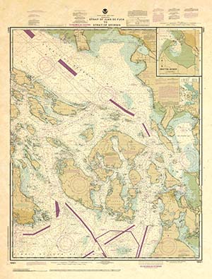
This is a unique line of decorative charts prepared by Paradise Cay Publications.
The short side of the chart is always printed at 36" and the long side will vary depending on the chart - please do not order framing prior to receiving the chart. These will memorialize your favorite coastal area in vintage style and we have added to the standard border of the typical NOAA chart to allow for a more professional, frame-ready presentation. DECORATIVE CHARTS ARE NOT CERTIFIED FOR CARRIAGE ABOARD COMMERCIAL VESSELS |


