The Global Maritime Distress and Safety System (GMDSS)--the revolutionary maritime equivalent of 911--provides a fast and efficient way of calling for assistance at sea, whatever the size of craft or its location. Denise Bréhaut explains the system and clearly outlines the procedures required to get help quickly, as well as covering the syllabi of the General Operator's Certificate (GOC), the Long Range Certificate (LRC), and the Restricted Operator's Certificate (ROC). Concise descriptions of channel usage, call signals, types of transmission modes, and all the various equipment involved-both aboard and throughout the entire system--allows novices as well as long-time users to thoroughly understand this life-saving communication system. Maps of INMARSAT areas and clear instructions for step-by-step distress communication protocols make this THE GMDSS bible. The sixth edition of GMDSS incorporates all the changes to the regulations that came into force in 2009 as well as the 2016 system updates.
GMDSS: A User's Handbook has proven an invaluable reference for exam candidates and equipment users for almost twenty years, both in UK and North America. The clear and lucid text is supported with illustrations, handy Q&A sections, and a quick-reference review guide for GOC and LRC students.
Since it was first published, this book has helped explain the system for anyone using GMDSS and has been excellent pre-course reading for students.
Specifications
Material Options
 Our paper charts are printed on high resolution, heavyweight, water-resistant paper, using state of the art printing technology. The paper and printing process has been certified by NOAA and deemed to be suitable to withstand the rigors of use in the marine environment. FULL SIZED PAPER CHARTS ARE CERTIFIED FOR CARRIAGE ABOARD COMMERCIAL VESSELS |
 Our waterproof charts are printed on a TIP: If you plan to frame or laminate a chart using heat, then do not choose waterproof because the material can melt under heat. FULL SIZED WATERPROOF CHARTS ARE CERTIFIED FOR CARRIAGE ABOARD COMMERCIAL VESSELS |
Size Options |
|
|
|
 These are up-to-date, NOAA charts simply enlarged in size so that the small dimension of the chart is 42”, the long dimension is proportionally enlarged. These charts are printed beyond full size, therefore the scale is not the same as the full size NOAA chart, however the scale bars on the charts are proportionally enlarged in size, and can be used for reference. LARGE FORMAT CHARTS ARE NOT CERTIFIED FOR CARRIAGE ABOARD COMMERCIAL VESSELS |
Other Options |
|
|
|
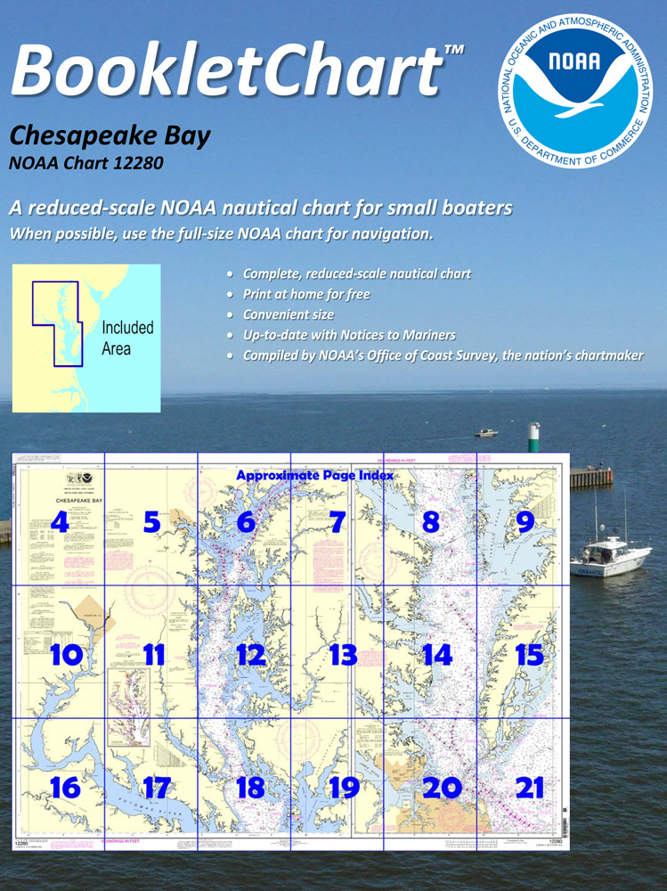
 Made to help recreational boaters locate themselves on the water. It has been reduced in scale for convenience, but otherwise contains all the information of the full-scale nautical chart. The bar scales have also been reduced, and are accurate when used to measure distances in these BookletCharts. • Professionally printed and staple-bound using high quality, durable paper. • Includes Notices to Mariners • Printed on-demand with the latest data from NOAA BOOKLET CHARTS ARE NOT CERTIFIED FOR CARRIAGE ABOARD COMMERCIAL VESSELS |
 |
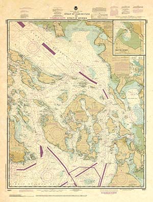
This is a unique line of decorative charts prepared by Paradise Cay Publications.
The short side of the chart is always printed at 36" and the long side will vary depending on the chart - please do not order framing prior to receiving the chart. These will memorialize your favorite coastal area in vintage style and we have added to the standard border of the typical NOAA chart to allow for a more professional, frame-ready presentation. DECORATIVE CHARTS ARE NOT CERTIFIED FOR CARRIAGE ABOARD COMMERCIAL VESSELS |


