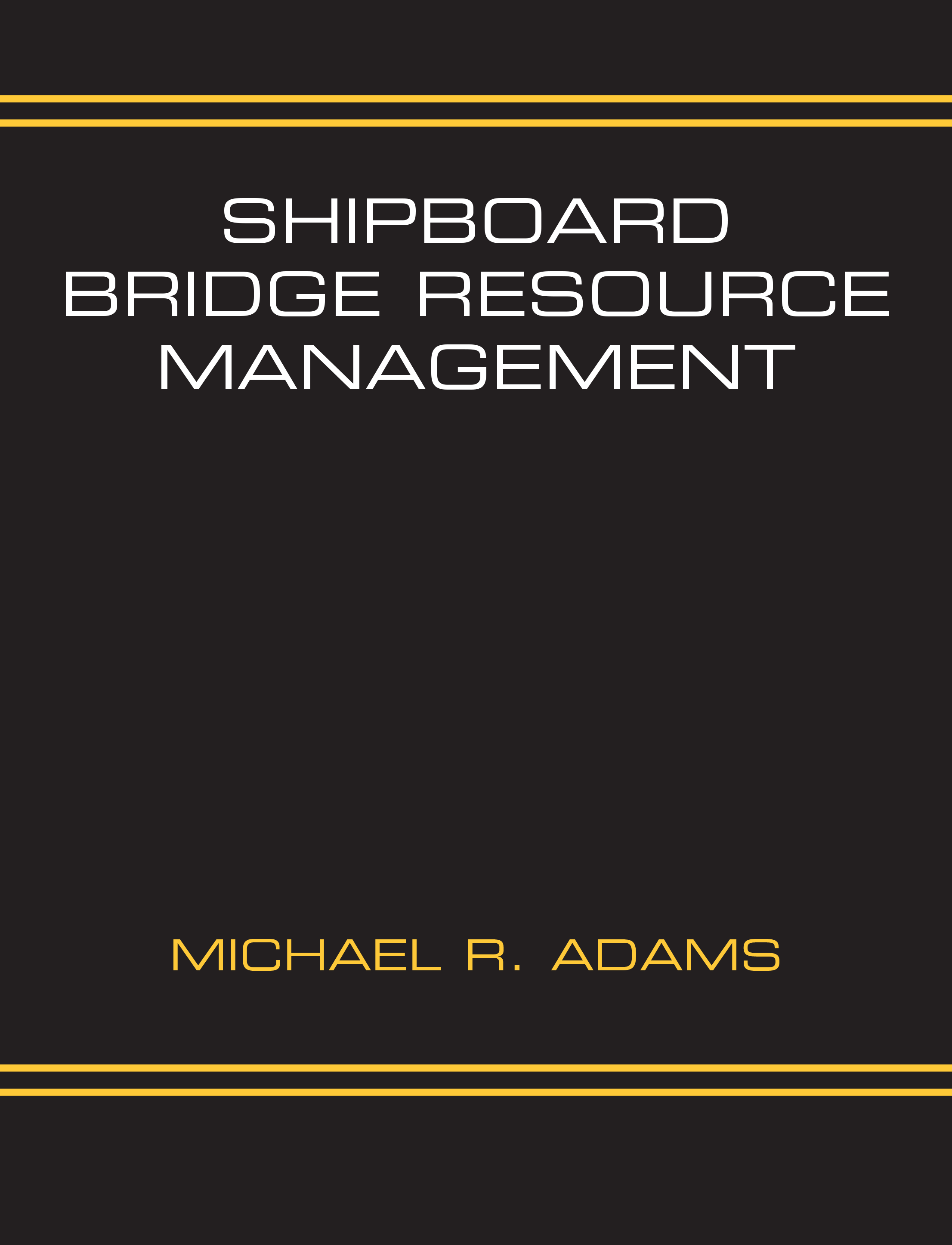
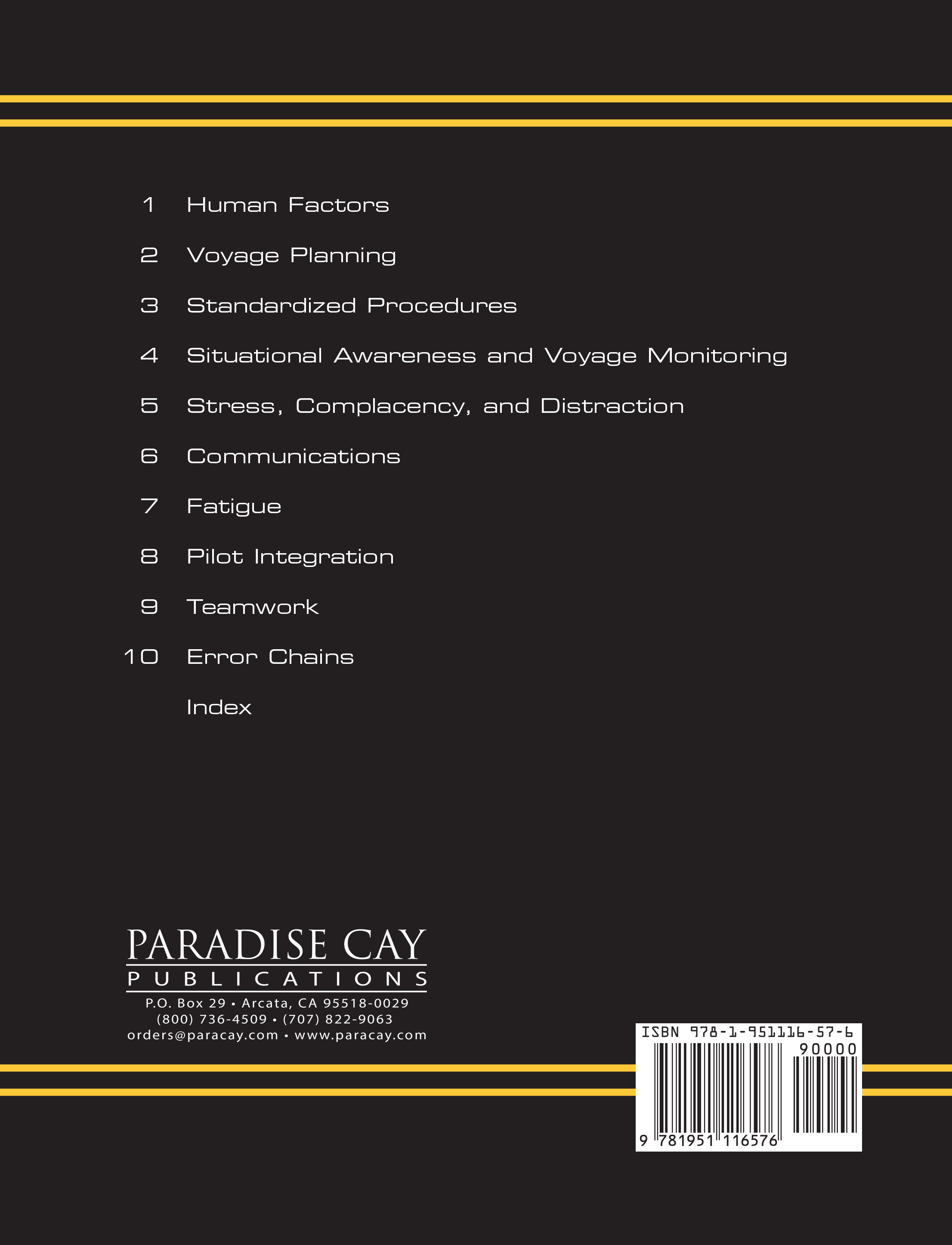
Even though advanced technology has given seamen better tools for navigation, communication, and general safety, ships continue to collide, ground, and sink resulting in lives lost, millions of dollars in damage, and tremendous environmental harm. in most cases, these losses are caused by human factors. studies vary, but human factors are found to be a significant contributing cause, if not the cause, in 75 to 90 percent of ship catastrophes. in other words, bad things happen to ships because the sailors aboard them fail to work effectively with their equipment and with each other. it does not matter if the ship is military or civilian; manned by a crew of two or two hundred; all of a single nationality or an ethnic mix. When the people fail, the ships fail. our goal here is to learn why these failures occur and thereby to stop them before they happen. this study of all the human factors aboard ship (that is, the manner in which people work together with their equipment, available information, and each other) is known as bridge resource management (BrM).
Michael R. Adams is a master mariner, certified stCW instructor, retired U.s. Coast Guard commander, and current member of the Florida Bar. During his two decades in the Coast Guard, he served in the cutters Absecon, Boutwell, Dependable, Midgett, Steadfast, and Ute, progressing from deck watch officer to commanding officer. He also served as navigator of the barque UsCGC Eagle. after his Coast Guard service, he spent 11 years as captain of the large oil spill response vessel Delaware Responder with brief intervals as captain of the California Responder, Maine Responder, and Virginia Responder. He has taught stCW courses, including BrM, at locations from Maine
to Miami and is author of the book OCEAN STATION (Nor'easter Press, 2010).
Specifications
Material Options
 Our paper charts are printed on high resolution, heavyweight, water-resistant paper, using state of the art printing technology. The paper and printing process has been certified by NOAA and deemed to be suitable to withstand the rigors of use in the marine environment. FULL SIZED PAPER CHARTS ARE CERTIFIED FOR CARRIAGE ABOARD COMMERCIAL VESSELS |
 Our waterproof charts are printed on a TIP: If you plan to frame or laminate a chart using heat, then do not choose waterproof because the material can melt under heat. FULL SIZED WATERPROOF CHARTS ARE CERTIFIED FOR CARRIAGE ABOARD COMMERCIAL VESSELS |
Size Options |
|
|
|
 These are up-to-date, NOAA charts simply enlarged in size so that the small dimension of the chart is 42”, the long dimension is proportionally enlarged. These charts are printed beyond full size, therefore the scale is not the same as the full size NOAA chart, however the scale bars on the charts are proportionally enlarged in size, and can be used for reference. LARGE FORMAT CHARTS ARE NOT CERTIFIED FOR CARRIAGE ABOARD COMMERCIAL VESSELS |
Other Options |
|
|
|
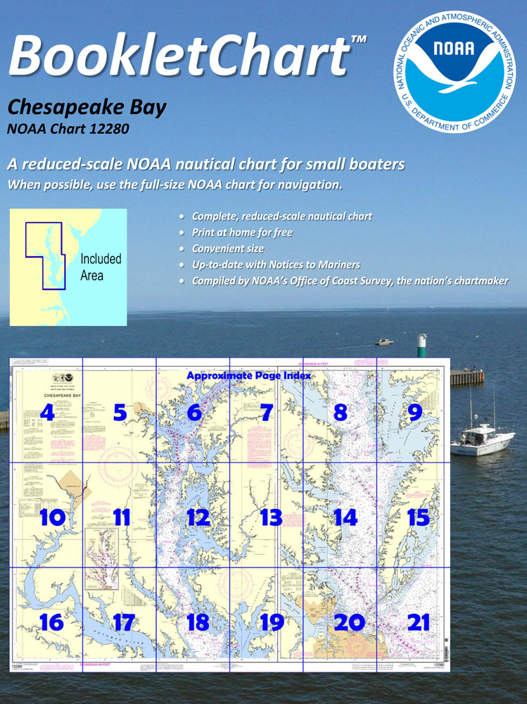
 Made to help recreational boaters locate themselves on the water. It has been reduced in scale for convenience, but otherwise contains all the information of the full-scale nautical chart. The bar scales have also been reduced, and are accurate when used to measure distances in these BookletCharts. • Professionally printed and staple-bound using high quality, durable paper. • Includes Notices to Mariners • Printed on-demand with the latest data from NOAA BOOKLET CHARTS ARE NOT CERTIFIED FOR CARRIAGE ABOARD COMMERCIAL VESSELS |
 |
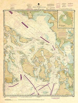
This is a unique line of decorative charts prepared by Paradise Cay Publications.
The short side of the chart is always printed at 36" and the long side will vary depending on the chart - please do not order framing prior to receiving the chart. These will memorialize your favorite coastal area in vintage style and we have added to the standard border of the typical NOAA chart to allow for a more professional, frame-ready presentation. DECORATIVE CHARTS ARE NOT CERTIFIED FOR CARRIAGE ABOARD COMMERCIAL VESSELS |


