Shiphandling Fundamentals for Littoral Combat Ships and the New Frigates - Book

$39.95
NAV084
Add to Favorites
Shiphandling Fundamentals for Littoral Combat Ships and the New Frigates is the first authoritative book on the theory and practice of driving U.S. Navy waterjet ships, originally known as “Littoral Combat Ships” (LCS). Authored by a career shipdriver who was part of the first generation of LCS commanding officers, every method presented within these pages has been validated through the successful development of experienced LCS shiphandlers, including ensigns, department heads, and even commanding officers. Though it is based on shiphandling theory, this book is meant to be a practical guide for both novice shiphandlers and those already experienced on propeller-driven ships. Gagliano's work serves as a book of best practices, offering advice to maximize training opportunities in the simulator and to exercise complete control over the ship with waterjets. This book is the definitive guide for any shiphandler assigned to one of the Navy's new frigates.

Specifications

Format:
Hardcover
Author:
Joseph, Gagliano
Pages:
288 pages
Dimensions (IN):
9.5 x 6.5
ISBN:
9781612518220
Supplier/Publisher:
U.S. Naval Institute
Date Added:
April 2025
Published Date:
2015

Material Options

PAPER CHARTS

Our paper charts are printed on high resolution, heavyweight, water-resistant paper, using state of the art printing technology. The paper and printing process has been certified by NOAA and deemed to be suitable to withstand the rigors of use in the marine environment.

FULL SIZED PAPER CHARTS ARE CERTIFIED FOR CARRIAGE ABOARD COMMERCIAL VESSELS
WATERPROOF CHARTS

Our waterproof charts are printed on a
very durable, extremely tear resistant,
waterproof material using state of the art
printing technology. The waterproof
material accepts pencil markings well and
also erases well. The paper and printing process has been certified by NOAA and deemed to be suitable to withstand the
rigors of use in the marine environment.

TIP: If you plan to frame or laminate a chart using heat, then do not choose waterproof because the material can melt under heat.

FULL SIZED WATERPROOF CHARTS ARE CERTIFIED FOR CARRIAGE ABOARD COMMERCIAL VESSELS

 Size Options


SMALL FORMAT CHARTS
These are up-to-date, NOAA charts simply
reduced in size so that the small dimension of the chart is 21”, the long dimension is proportionally reduced. These charts are not printed to full size, therefore the scale is not the same as the full size NOAA chart, however the scale bars on the charts are proportionally reduced in size, and can be used for reference. These charts are not recommended for navigation.

SMALL FORMAT CHARTS ARE NOT CERTIFIED FOR CARRIAGE ABOARD COMMERCIAL VESSELS


These are up-to-date, NOAA charts simply enlarged in size so that the small dimension of the chart is 42”, the long dimension is proportionally enlarged. These charts are printed beyond full size, therefore the scale is not the same as the full size NOAA chart, however the scale bars on the charts are proportionally enlarged in size, and can be used for reference.

LARGE FORMAT CHARTS ARE NOT CERTIFIED FOR CARRIAGE ABOARD COMMERCIAL VESSELS

Other Options


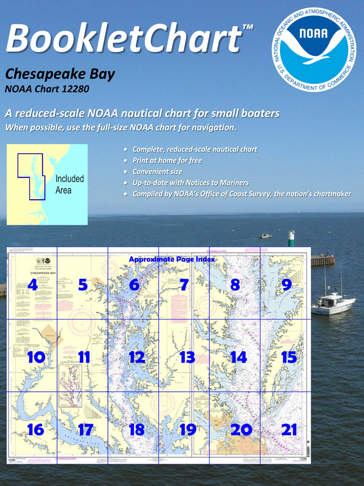
BOOKLET CHARTS

Made to help recreational boaters locate themselves on the water. It has been reduced in scale for convenience, but otherwise contains all the information of the full-scale nautical chart. The bar scales have also been reduced, and are accurate when used to measure distances in these BookletCharts.

• Professionally printed and staple-bound using high quality, durable paper.

• Includes Notices to Mariners

• Printed on-demand with the latest data from NOAA

BOOKLET CHARTS ARE NOT CERTIFIED FOR CARRIAGE ABOARD COMMERCIAL VESSELS


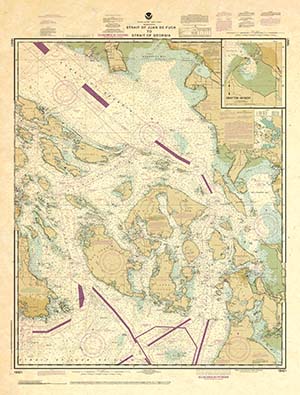
DECORATIVE ANTIQUED CHARTS

This is a unique line of decorative charts prepared by Paradise Cay Publications.

  • This is an art piece prepared with the look of a well-used chart with the patina of antique parchment.
  • Printed on our high-quality heavy paper.
  • We have added an additional border to allow for framing.
  • Shipped rolled, never folded.

The short side of the chart is always printed at 36" and the long side will vary depending on the chart - please do not order framing prior to receiving the chart. These will memorialize your favorite coastal area in vintage style and we have added to the standard border of the typical NOAA chart to allow for a more professional, frame-ready presentation.

DECORATIVE CHARTS ARE NOT CERTIFIED FOR CARRIAGE ABOARD COMMERCIAL VESSELS