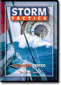
The Pardeys have been called the "enablers". Their books and videos have encourage sailors of all ages to stop dreaming and start doing. Now they take you well out to sea and demonstrate methods to help you bring your boat and crew safely through storms with your gear and dreams intact. Join them near South Africa's windswept Cape of Storms to watch a live demonstration of setting and retrieving a para-anchor, then sail on board Taleisin during Lin and Larry's voyages across the Atlantic, through the windswept waters off Cape Horn as they round contrary to the wind and use the storm management methods they share here. You will see their storm sails set and working in winds of 70 knots. The Pardey's use this visually explicit medium to demonstrate the technical details of storm tactics for both modern and classic boats, and they show how you can adapt their ideas for your own use. Learn ways to prepare your boat and your crew to eliminate fear and face heavy weather with a plan; learn how and when to use the sailor's safety valve-heaving-to-with our without a para-anchor. The Pardeys discuss in detail gear and equipment, plus special sails for heavy weather. This video companion to their highly successful Storm Tactics handbook provides new insights into handling storms, storm sails and para-anchors; this is a must for anyone who ventures more than a few miles offshore in a sailboat.
Pardey - Storm Tactics: Cape Horn Tested from SailFlix on Vimeo.
Pardey Off-Shore Sailing 5-Video Pack from SailFlix on Vimeo.
Specifications
Material Options
 Our paper charts are printed on high resolution, heavyweight, water-resistant paper, using state of the art printing technology. The paper and printing process has been certified by NOAA and deemed to be suitable to withstand the rigors of use in the marine environment. FULL SIZED PAPER CHARTS ARE CERTIFIED FOR CARRIAGE ABOARD COMMERCIAL VESSELS |
 Our waterproof charts are printed on a TIP: If you plan to frame or laminate a chart using heat, then do not choose waterproof because the material can melt under heat. FULL SIZED WATERPROOF CHARTS ARE CERTIFIED FOR CARRIAGE ABOARD COMMERCIAL VESSELS |
Size Options |
|
|
|
 These are up-to-date, NOAA charts simply enlarged in size so that the small dimension of the chart is 42”, the long dimension is proportionally enlarged. These charts are printed beyond full size, therefore the scale is not the same as the full size NOAA chart, however the scale bars on the charts are proportionally enlarged in size, and can be used for reference. LARGE FORMAT CHARTS ARE NOT CERTIFIED FOR CARRIAGE ABOARD COMMERCIAL VESSELS |
Other Options |
|
|
|
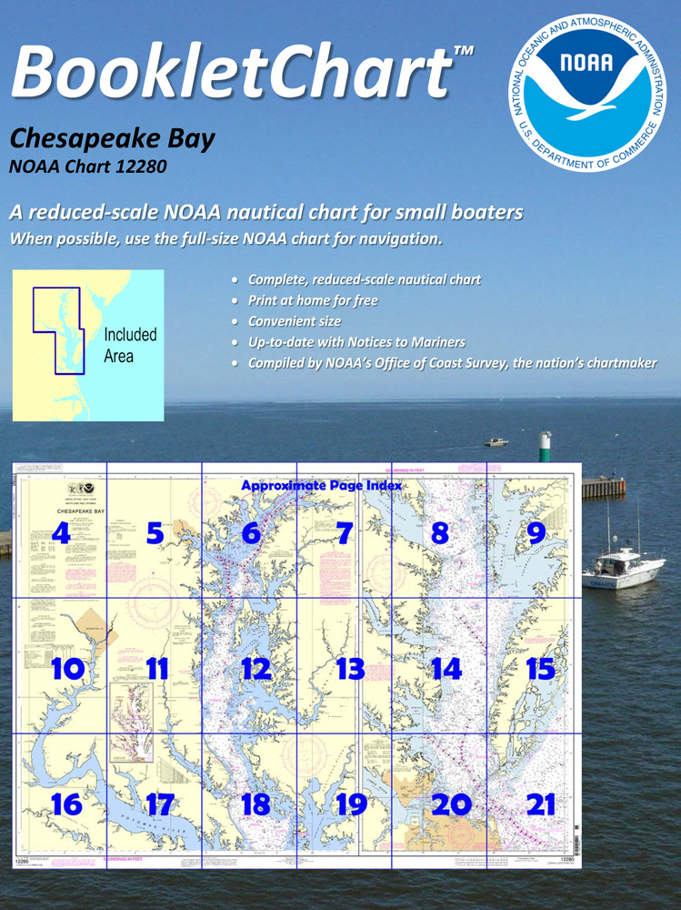
 Made to help recreational boaters locate themselves on the water. It has been reduced in scale for convenience, but otherwise contains all the information of the full-scale nautical chart. The bar scales have also been reduced, and are accurate when used to measure distances in these BookletCharts. • Professionally printed and staple-bound using high quality, durable paper. • Includes Notices to Mariners • Printed on-demand with the latest data from NOAA BOOKLET CHARTS ARE NOT CERTIFIED FOR CARRIAGE ABOARD COMMERCIAL VESSELS |
 |
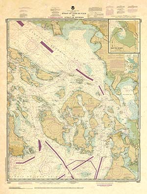
This is a unique line of decorative charts prepared by Paradise Cay Publications.
The short side of the chart is always printed at 36" and the long side will vary depending on the chart - please do not order framing prior to receiving the chart. These will memorialize your favorite coastal area in vintage style and we have added to the standard border of the typical NOAA chart to allow for a more professional, frame-ready presentation. DECORATIVE CHARTS ARE NOT CERTIFIED FOR CARRIAGE ABOARD COMMERCIAL VESSELS |


