The Baltic Sea: Germany, Denmark, Sweden, Finland, Russia, Poland, Kaliningrad, Lithuania, Latvia, Estonia - Book

$75.95
IMR080
Add to Favorites
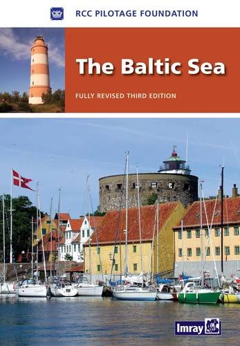
The nine countries bordering the Baltic Sea offer an immense variety of cruising grounds, peoples and cultures. There are thousands of harbours and innumerable anchorages, and it would take an entire bookshelf, to cover them all in detail. The information contained in this book is therefore selective. It has been chosen for its value both at the planning stages - preparing the yacht, choosing the most suitable route, timing and communications etc - and again on arrival, when a general overview of each individual country is followed by specific harbour information. Where detailed cruising information is readily available - effectively Germany, Denmark, Sweden and Finland - only selected harbours are covered, chosen, with a few exceptions, as fulfilling certain key needs. Where cruising information is more limited - Poland, Kaliningrad, Lithuania, Latvia, Estonia and Russia - many smaller harbours are also featured in detail. In addition to comprehensive suggestions for further reading (and sources in each country from which they may be ordered) more than 200 websites are listed, again chosen for their relevance both at the planning stage and en route. In order to facilitate the latter, as well as for general communication, details of internet access points are included for most major harbours. This 3rd edition has been produced by a team from the Royal Cruising Club and contains substantial changes. Coverage of the West Coast of Sweden, the Gota Canal and Gulf of Bothnia has been extended and there is more information detailed information on the Baltic states. Throughout there are new plans and photos and the technical data on countries and navigation has been thoroughly revised. Beautiful, secluded anchorages, picturesque canals, bustling marinas, dramatic cities - all await those considering a Baltic cruise.

Specifications

Format:
Hardcover
Author:
Mike Lewin-Harris
Pages:
376 pages
Dimensions (IN):
8.27 x 0.79 x 11.61"
ISBN:
9781846231872
Supplier/Publisher:
IMRAY LAURIE NORIE & WILSON LTD._
Date Added:
December 2023
Published Date:
May 15, 2010

Material Options

PAPER CHARTS

Our paper charts are printed on high resolution, heavyweight, water-resistant paper, using state of the art printing technology. The paper and printing process has been certified by NOAA and deemed to be suitable to withstand the rigors of use in the marine environment.

FULL SIZED PAPER CHARTS ARE CERTIFIED FOR CARRIAGE ABOARD COMMERCIAL VESSELS
WATERPROOF CHARTS

Our waterproof charts are printed on a
very durable, extremely tear resistant,
waterproof material using state of the art
printing technology. The waterproof
material accepts pencil markings well and
also erases well. The paper and printing process has been certified by NOAA and deemed to be suitable to withstand the
rigors of use in the marine environment.

TIP: If you plan to frame or laminate a chart using heat, then do not choose waterproof because the material can melt under heat.

FULL SIZED WATERPROOF CHARTS ARE CERTIFIED FOR CARRIAGE ABOARD COMMERCIAL VESSELS

 Size Options


SMALL FORMAT CHARTS
These are up-to-date, NOAA charts simply
reduced in size so that the small dimension of the chart is 21”, the long dimension is proportionally reduced. These charts are not printed to full size, therefore the scale is not the same as the full size NOAA chart, however the scale bars on the charts are proportionally reduced in size, and can be used for reference. These charts are not recommended for navigation.

SMALL FORMAT CHARTS ARE NOT CERTIFIED FOR CARRIAGE ABOARD COMMERCIAL VESSELS


These are up-to-date, NOAA charts simply enlarged in size so that the small dimension of the chart is 42”, the long dimension is proportionally enlarged. These charts are printed beyond full size, therefore the scale is not the same as the full size NOAA chart, however the scale bars on the charts are proportionally enlarged in size, and can be used for reference.

LARGE FORMAT CHARTS ARE NOT CERTIFIED FOR CARRIAGE ABOARD COMMERCIAL VESSELS

Other Options


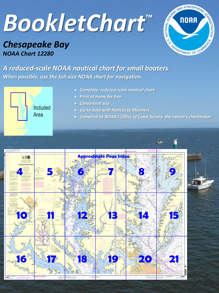
BOOKLET CHARTS

Made to help recreational boaters locate themselves on the water. It has been reduced in scale for convenience, but otherwise contains all the information of the full-scale nautical chart. The bar scales have also been reduced, and are accurate when used to measure distances in these BookletCharts.

• Professionally printed and staple-bound using high quality, durable paper.

• Includes Notices to Mariners

• Printed on-demand with the latest data from NOAA

BOOKLET CHARTS ARE NOT CERTIFIED FOR CARRIAGE ABOARD COMMERCIAL VESSELS


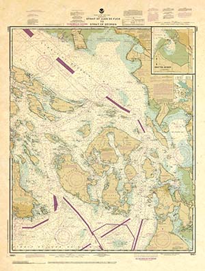
DECORATIVE ANTIQUED CHARTS

This is a unique line of decorative charts prepared by Paradise Cay Publications.

  • This is an art piece prepared with the look of a well-used chart with the patina of antique parchment.
  • Printed on our high-quality heavy paper.
  • We have added an additional border to allow for framing.
  • Shipped rolled, never folded.

The short side of the chart is always printed at 36" and the long side will vary depending on the chart - please do not order framing prior to receiving the chart. These will memorialize your favorite coastal area in vintage style and we have added to the standard border of the typical NOAA chart to allow for a more professional, frame-ready presentation.

DECORATIVE CHARTS ARE NOT CERTIFIED FOR CARRIAGE ABOARD COMMERCIAL VESSELS